

 2023: Philadelphia's least snowy calendar year (0.3") on record.
 MAY 2023: Philadelphia's driest May (0.24") on record.
 JANUARY 2023: Philadelphia's 2nd warmest January**** (avg. 43.3º) on record.
2021 - Philadelphia's 3rd warmest year on record (avg. 58.20º).
 2018 - Philadelphia's 2nd wettest year in history totalled 61.52 inches. Autumn 2018 (September/October/November) rainfall total was a record 21.87 inches
APRIL 2017: Philadelphia's warmest April (avg. 59.5º) ever. FEBRUARY 2017: Philadelphia's warmest February (avg. 44.2º) ever.
2016 - Philadelphia's 2nd warmest year on record (avg. 58.40º).
July 28, 2013: Philadelphia's wettest day in history totalled 8.02 inches.
2012 - Philadelphia's warmest year on record (avg. 58.90º). SPRING 2012 (March/April/May) Philadelphia's warmest (avg. 58.7º) ever.
2011 - Philadelphia's wettest year in history totalled 64.33 inches. JULY 2011: Philadelphia's warmest July (avg. 82.4º) ever.
2010 - Philadelphia's most days of 90º or higher in a calendar year (55). SUMMER 2010 (June/July/August) Philadelphia's warmest (avg. 79.63º) ever.
WINTER 2009-'10: Philadelphia's snowiest Winter [Dec/Jan/Feb] (78.7 inches) ever.
WINTER 1976-'77: Philadelphia's Coldest Winter [Dec/Jan/Feb] (avg. 28.0º).
NOAA Weather Radio | Hurricane Stats | Tornado Stats | Climate | Glossary
Copyright | Privacy Policy | E-mail
 U.S. Weather News | World Weather News
  24-Hour | 48-Hour | Plain Language
 Northeast Lightning Strikes (past 60 minutes)
 Philadelphia Daily Climatology
 Philadelphia, PA Radar (NWS/NOAA) Philadelphia Area NOWCAST


 Latest Philadelphia Forecast
Hourly Surface Conditions
Latest Beach Forecasts New Jersey & Delaware
Latest Surf Forecasts New Jersey, Delaware, Maryland
Latest Poconos Forecast Pennsylvania
Latest Air Quality Outlook (graphic)
Latest Philadelphia Forecast
Hourly Surface Conditions
Latest Beach Forecasts New Jersey & Delaware
Latest Surf Forecasts New Jersey, Delaware, Maryland
Latest Poconos Forecast Pennsylvania
Latest Air Quality Outlook (graphic)
 Latest Northeast Air Quality Outlook (graphic)
 Daily Ground Level Ozone Forecast (DVRPC)
 Philadelphia, PA Pollen Forecast (seasonal)
 Agricultural Forecast (seasonal) from Cook/Rutgers
 Drought Precautions | Drought Statements
 Sunrise/Sunset
  Moon Phase
  Celestial Almanac
 Official U.S. Time
 US Travelers' Cities Weather (list)
 Aviation Weather Data (interactive)
 New Jersey & Delaware Coastal Marine Forecast /Delaware Bay
Maryland & Virginia Coastal Marine Forecast /Chesapeake Bay
New Jersey & Delaware Coastal Marine Forecast /Delaware Bay
Maryland & Virginia Coastal Marine Forecast /Chesapeake Bay
 Offshore Marine Forecast
Surf Conditions (NJ/DE)
Offshore Marine Forecast
Surf Conditions (NJ/DE)
 Caribbean Weather Link
![]() US East Coast Significant Wave Heights
US East Coast Significant Wave Heights Surf (Rip Currents) Graphic Forecast (seasonal)
Ocean Swimming Safety Guide
Surf (Rip Currents) Graphic Forecast (seasonal)
Ocean Swimming Safety Guide
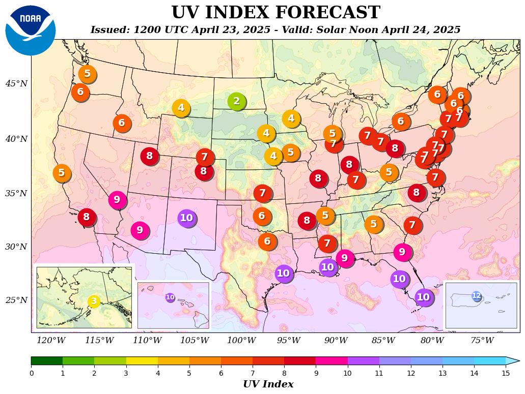
 Daily Ultraviolet Index and UV Forecast Map and UV Alert Map
 Ultraviolet Protection Safety Guide
 Heat Index Chart
 El Niño/La Niña Status Report
  El Niño/La Niña History & Weather
 Tropical Outlook Graphic view of the Atlantic
Strike Probability & Warning Maps (active storms)
Advisories from the National Hurricane Center (interactive)
Tropical Outlook Graphic view of the Atlantic
Strike Probability & Warning Maps (active storms)
Advisories from the National Hurricane Center (interactive)
 Forecast: 2024 Atlantic Season (NOAA)
  Forecast: 2024 Atlantic Season (CSU)
Latest East Coast Satellite View
 Storm Surge Information
Atlantic Hurricane Names 2024-2029 (lists)
Retired Atlantic Names 1954-present
 Groundhog Day
  Autumn Foliage Guide
Pennsylvania Snow Depth Interactive  Wind Chill Chart
 Latest Ski Resort
 Winter Weatherlore
 School Closings (weather-related)
Community Events Cancellations (weather-related)
School Closings (weather-related)
Community Events Cancellations (weather-related)
 Latest Traffic & Transit Conditions from Sigalert ®

 Daily Record High/Low Temperatures
Philadelphia | Atlantic City | Cape May Climate Data
Daily Record High/Low Temperatures
Philadelphia | Atlantic City | Cape May Climate Data
 Average Water Temperatures at Atlantic Coast beaches


 Glossary of Weather Terms
 Severe Weather Safety Information


in lieu of officially disseminated National Weather Service STATEMENTS, WATCHES and WARNINGS.
 Weather Radio!
 Philadelphia, PA - 162.475 MHz Atlantic City, NJ - 162.400 MHz
  NWR-SAME Alert Radios
Bucks County: 042017
Chester County: 042029
Delaware County: 042045
Lancaster County: 042071
Lehigh County: 042077
Montgomery County: 042091
Philadelphia County: 042101
Schuylkill County: 042107
Burlington County: 034005
Camden County: 034007
Cape May County: 034009
Cumberland County: 034011
Gloucester County: 034015
Mercer County: 034021
Ocean County: 034029
Salem County: 034033
New Castle County: 010003
Sussex County: 010005
 Philly Tornado Archive: 1950-present
 U.S. Hurricane Statistics: 1851-present
 Top 25 Strongest Top 25 Deadliest Top 25 Costliest By State By Month By Decade

 Please read our Legal Notice and our Privacy Statement.

